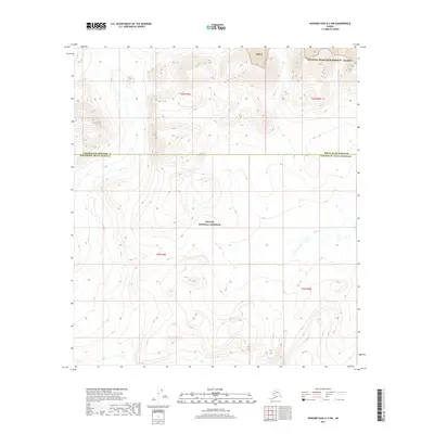
2017 Map of Howard Pass A-3 NW
USGS Topo · Published 2017About this map
The North Slope Borough and Northwest Arctic Borough meet in this remote section of the Brooks Range, where the landscape is divided between major federal land holdings. The northern half of the quadrangle lies within the National Petroleum Reserve - Alaska, also labeled as the Npr-A, a massive tract managed for both resource potential and environmental conservation. South of the borough line, the terrain transitions into the Noatak National Preserve, a protected wilderness area. The only significant drainage identified is Fauna Creek, which threads through the high-altitude topography of the southern portion. This 2017 survey illustrates the stark administrative boundaries that define this roadless arctic wilderness, highlighting the intersection of petroleum interests and conservation mandates.
Find a feature on this map
9 named features on this map. Tap any name to fly to it.
Don’t see what you’re looking for? This feature index may not catch every label — zoom into the map to look around manually.
Map Details
Editions of this 2017 Howard Pass A-3 NW Map
This is the sole edition of this map. No revisions or reprints were ever made.
Other maps of this area

1951 · Howard Pass
USGS Topo · 1:250,000

1956 · Howard Pass
USGS Topo · 1:250,000

1984 · Howard Pass A-3
USGS Topo · 1:63,360

1984 · Howard Pass B-4
USGS Topo · 1:63,360

1984 · Howard Pass B-3
USGS Topo · 1:63,360
1990 · Howard Pass A-4
USGS Topo · 1:63,360
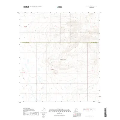
2017 · Howard Pass A-4 NE
USGS Topo · 1:25,000
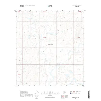
2017 · Howard Pass A-4 SE
USGS Topo · 1:25,000
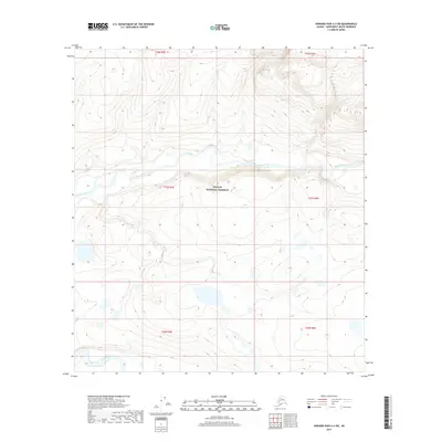
2017 · Howard Pass A-3 SW
USGS Topo · 1:25,000
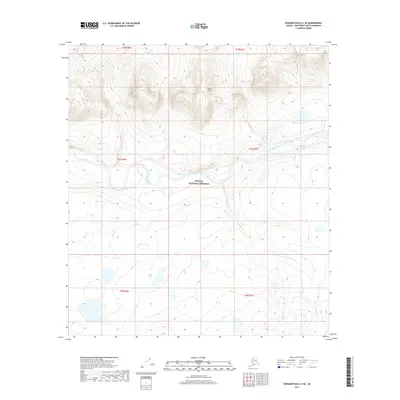
2017 · Howard Pass A-3 SE
USGS Topo · 1:25,000