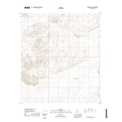
2017 Map of Howard Pass B-3 NE
USGS Topo · Published 2017About this map
The Ipnavik River corridor defines the eastern edge of this remote Arctic landscape, where the waterway meanders through a valley flanked by significant topographic relief. As of 2017, the area remains largely defined by its natural drainage patterns, with Memorial Creek (also labeled as Memorial Cr) flowing westward to join the river system. These cold-water streams, including Bupto Cr in the north and Friendly Cr in the southeast, are the primary markers of a wilderness terrain where human infrastructure is entirely absent. The map’s focus on elevation contours and hydrological features highlights the drainage basins within the t11s r23w and t12s r23w townships, providing a clear record of this uninhabited portion of the North Slope.
Find a feature on this map
9 named features on this map. Tap any name to fly to it.
Don’t see what you’re looking for? This feature index may not catch every label — zoom into the map to look around manually.
Map Details
Editions of this 2017 Howard Pass B-3 NE Map
This is the sole edition of this map. No revisions or reprints were ever made.
Other maps of this area

1951 · Howard Pass
USGS Topo · 1:250,000

1956 · Howard Pass
USGS Topo · 1:250,000
1984 · Howard Pass C-2
USGS Topo · 1:63,360
1984 · Howard Pass B-2
USGS Topo · 1:63,360

1984 · Howard Pass B-3
USGS Topo · 1:63,360

1984 · Howard Pass C-3
USGS Topo · 1:63,360
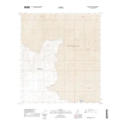
2017 · Howard Pass B-3 SW
USGS Topo · 1:25,000
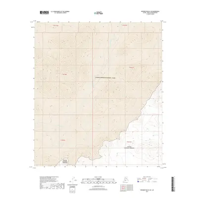
2017 · Howard Pass B-3 SE
USGS Topo · 1:25,000
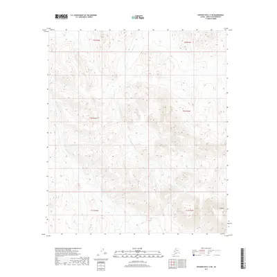
2017 · Howard Pass C-3 SW
USGS Topo · 1:25,000
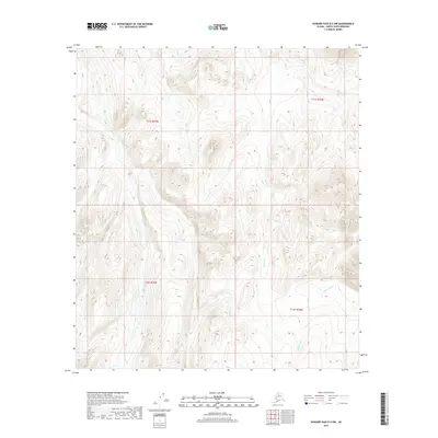
2017 · Howard Pass B-3 NW
USGS Topo · 1:25,000