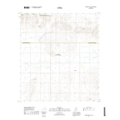
2017 Map of Howard Pass A-3 NE
USGS Topo · Published 2017About this map
Noatak National Preserve and the National Petroleum Reserve - Alaska meet along the boundary of the North Slope Borough and the Northwest Arctic Borough. This 2017 survey details a remote Arctic landscape dominated by the meandering course of Fauna Creek, which flows through the southern half of the map area. The terrain transitions from the protected wilderness of the preserve into the administrative zones of the Npr-A to the north. Surveyed under the Public Land Survey System, the area is divided into townships including t33n r6e, t33n r7e, t32n r6e, and t32n r7e. The topography reveals the intricate drainage patterns of the Brooks Range foothills, where the absence of roads or permanent settlements underscores the isolation of these northern parklands and reserves.
Find a feature on this map
9 named features on this map. Tap any name to fly to it.
Don’t see what you’re looking for? This feature index may not catch every label — zoom into the map to look around manually.
Map Details
Editions of this 2017 Howard Pass A-3 NE Map
This is the sole edition of this map. No revisions or reprints were ever made.
Other maps of this area

1951 · Howard Pass
USGS Topo · 1:250,000

1956 · Howard Pass
USGS Topo · 1:250,000
1984 · Howard Pass B-2
USGS Topo · 1:63,360
1984 · Howard Pass A-2
USGS Topo · 1:63,360

1984 · Howard Pass A-3
USGS Topo · 1:63,360

1984 · Howard Pass B-3
USGS Topo · 1:63,360
2017 · Howard Pass A-3 SW
USGS Topo · 1:25,000
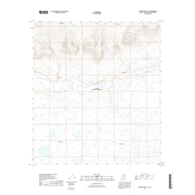
2017 · Howard Pass A-3 SE
USGS Topo · 1:25,000
2017 · Howard Pass B-3 SW
USGS Topo · 1:25,000
2017 · Howard Pass B-3 SE
USGS Topo · 1:25,000