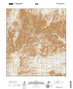
2020 Map of Howard Pass B-3 SW
USGS Topo · Published 2020About this map
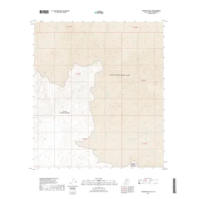
The Ipnavik River winds through this northern landscape, marking a geographic transition between two major protected areas. To the west lies the edge of the Noatak National Preserve, while the eastern portion of the map covers part of the National Petroleum Reserve - Alaska. The terrain is defined by high-elevation ridges and drainage basins, including the headwaters of Safari Cr and Memorial Cr. This 2020 survey provides a high-resolution view of the remote Brooks Range foothills, where land management boundaries intersect with the natural flow of Arctic waterways. The map illustrates the complex township and range system utilized in this vast expanse of public lands, providing essential topographic data for this uninhabited stretch of the North Slope.
Find a feature on this map
11 named features on this map. Tap any name to fly to it.
Don’t see what you’re looking for? This feature index may not catch every label — zoom into the map to look around manually.
Map Details
Editions of this 2020 Howard Pass B-3 SW Map
This is the sole edition of this map. No revisions or reprints were ever made.
Other maps of this area

1951 · Howard Pass
USGS Topo · 1:250,000

1956 · Howard Pass
USGS Topo · 1:250,000

1984 · Howard Pass A-3
USGS Topo · 1:63,360

1984 · Howard Pass B-4
USGS Topo · 1:63,360

1984 · Howard Pass B-3
USGS Topo · 1:63,360
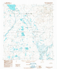
1990 · Howard Pass A-4
USGS Topo · 1:63,360
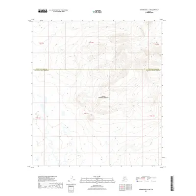
2017 · Howard Pass A-4 NE
USGS Topo · 1:25,000
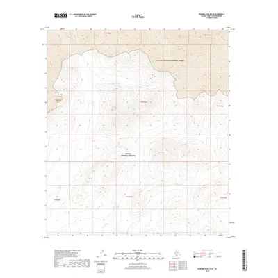
2017 · Howard Pass B-4 SE
USGS Topo · 1:25,000
2017 · Howard Pass B-3 SW
USGS Topo · 1:25,000
2017 · Howard Pass A-3 NE
USGS Topo · 1:25,000