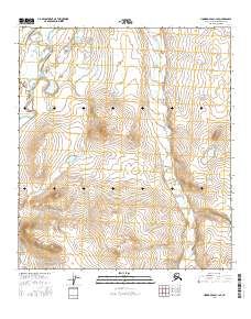
2016 Map of Howard Pass C-1 SE
USGS Topo · Published 2016About this map
Etivluk River meanders across the northwestern corner of this Arctic terrain, providing a critical water source and transit corridor through the North Slope. The landscape is defined by the drainage patterns of Kutchaurak Cr, which flows northward through several surveyed townships including t10s r18w and t9s r18w. This 2016 survey illustrates the high-latitude topography near Howard Pass, where narrow stream valleys cut between rounded ridges. The map serves as a contemporary record of the remote Brooks Range foothills, documenting the hydrological network and the precise grid of the Public Land Survey System in a region largely devoid of permanent human settlements or infrastructure.
Find a feature on this map
8 named features on this map. Tap any name to fly to it.
Don’t see what you’re looking for? This feature index may not catch every label — zoom into the map to look around manually.
Map Details
Editions of this 2016 Howard Pass C-1 SE Map
This is the sole edition of this map. No revisions or reprints were ever made.
Other maps of this area

1951 · Howard Pass
USGS Topo · 1:250,000

1951 · Killik River
USGS Topo · 1:250,000

1956 · Howard Pass
USGS Topo · 1:250,000

1956 · Killik River
USGS Topo · 1:250,000
1984 · Killik River B-5
USGS Topo · 1:63,360
1984 · Howard Pass B-1
USGS Topo · 1:63,360

1984 · Howard Pass C-1
USGS Topo · 1:63,360
1984 · Killik River C-5
USGS Topo · 1:63,360
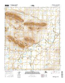
2016 · Howard Pass C-1 SW
USGS Topo · 1:25,000
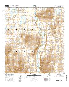
2016 · Howard Pass B-1 NW
USGS Topo · 1:25,000