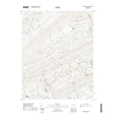
2019 Map of Howard Quarter
USGS Topo · Published 2019About this map
Howard Quarter sits in a landscape defined by the parallel ridges of the Tennessee Appalachians, where the Clinch River carves a winding path through the southern portion of the quadrangle. The river’s course is marked by distinct geographic features such as The Narrows and Lee Bend, while the Evans Ferry Bridge serves as a critical crossing point between Claiborne and Grainger counties. This area is characterized by long, narrow valleys including Little Valley, Caney Valley, and Dry Valley, each tucked between formidable heights like Powell Mtn, Newman Ridge, and Wallen Ridge.
Find a feature on this map
129 named features on this map. Tap any name to fly to it.
Don’t see what you’re looking for? This feature index may not catch every label — zoom into the map to look around manually.
Map Details
Editions of this 2019 Howard Quarter Map
This is the sole edition of this map. No revisions or reprints were ever made.
Other maps of this area

1883 · Morristown
USGS Topo · 1:125,000

1886 · Cumberland Gap
USGS Topo · 1:125,000

1887 · Jonesville
USGS Topo · 1:125,000

1888 · Cumberland Gap
USGS Topo · 1:125,000

1891 · Cumberland Gap
USGS Topo · 1:125,000

1891 · Jonesville
USGS Topo · 1:125,000

1893 · Morristown
USGS Topo · 1:125,000

1895 · Morristown
USGS Topo · 1:125,000

1897 · Maynardville
USGS Topo · 1:125,000

1900 · Maynardville
USGS Topo · 1:125,000