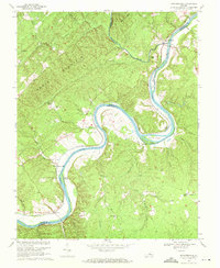
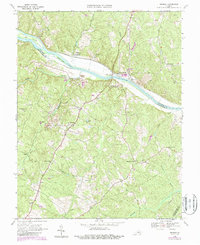
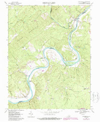
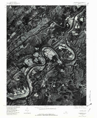
1968 Map of Howardsville
USGS Topo · Published 1971This historical map portrays the area of Howardsville in 1968, primarily covering Buckingham County as well as portions of Nelson County and Albemarle County. Featuring a scale of 1:24000, this map provides a highly detailed snapshot of the terrain, roads, buildings, counties, and historical landmarks in the Howardsville region at the time. Published in 1971, it is one of 3 known editions of this map due to revisions or reprints.
Find a feature on this map
46 named features on this map. Tap any name to fly to it.
Don’t see what you’re looking for? This feature index may not catch every label — zoom into the map to look around manually.
Map Details
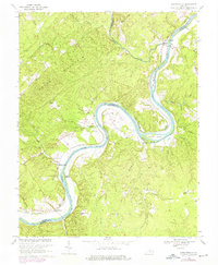
Editions of this 1968 Howardsville Map
3 editions found
Historical Maps of Warminster Through Time
12 maps found

1961 Buckingham
Buckingham County, VA
1967 Andersonville
Buckingham County, VA
1967 Diana Mills
Buckingham County, VA
1968 Arvonia
Buckingham County, VA
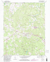
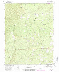
1968 Buckingham
Buckingham County, VA
1968 Glenmore
Buckingham County, VA
1968 Gold Hill
Buckingham County, VA
1968 Howardsville
Buckingham County, VA
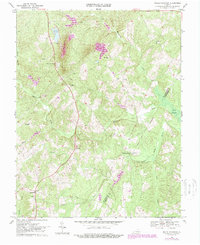
1968 Saint Joy
Buckingham County, VA
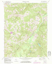
1968 Willis Mountain
Buckingham County, VA
1969 Gladstone
Buckingham County, VA
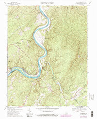
1979 Howardsville
Buckingham County, VA