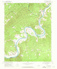
1968 Map of Howardsville
USGS Topo · Published 1971About this map
The James River carves a deep, winding path through this Piedmont landscape, serving as the border between Nelson and Buckingham counties. Along its banks, the Chesapeake and Ohio railroad follows the river's contours, connecting small riverside communities that were once vital transport and milling hubs. These settlements, including Howardsville, Warminster, and Wingina, are punctuated by local landmarks like Liberty Hall and Woodland Ch.
Find a feature on this map
46 named features on this map. Tap any name to fly to it.
Don’t see what you’re looking for? This feature index may not catch every label — zoom into the map to look around manually.
Map Details
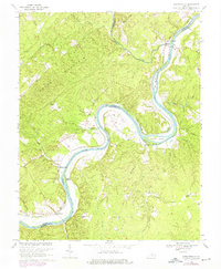
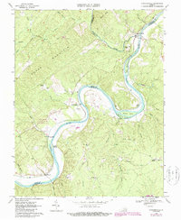
Editions of this 1968 Howardsville Map
3 editions found
Other maps of this area

1892 · Buckingham
USGS Topo · 1:125,000

1929 · Covesville
USGS Topo · 1:62,500

1935 · Covesville
USGS Topo · 1:62,500

1943 · Lovingston
USGS Topo · 1:62,500

1945 · Covesville
USGS Topo · 1:62,500

1946 · Lovingston
USGS Topo · 1:62,500

1947 · Roanoke
USGS Topo · 1:250,000

1959 · Roanoke
USGS Topo · 1:250,000

1961 · Shipman
USGS Topo · 1:62,500

1961 · Buckingham
USGS Topo · 1:62,500