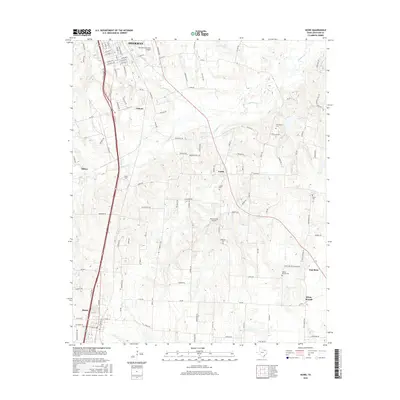
2016 Map of Howe
USGS Topo · Published 2016About this map
Sherman, the seat of Grayson County, expands its southern reach along the US Hwy 75 corridor in this 2016 record of north Texas settlement. The map documents the rural landscape between the growth of Howe and Tom Bean, where family history is anchored by several historic burial grounds including White Mound Cem, Akers Cem, and Holloway Cem. The area is defined by its small farming communities and aviation hubs like Sherman Municipal Airport and Kahuna Bay Airport, all situated within the drainage basins of Post Oak Cr and Choctaw Cr. Local genealogists can trace the traditional residential patterns of the Luella and White Mound areas, which remain largely characterized by farm-to-market roads like FM 697 and FM 902 even as urban development from the north approaches Summit Hill.
Find a feature on this map
121 named features on this map. Tap any name to fly to it.
Don’t see what you’re looking for? This feature index may not catch every label — zoom into the map to look around manually.
Map Details
Editions of this 2016 Howe Map
This is the sole edition of this map. No revisions or reprints were ever made.
Other maps of this area

1901 · Denison
USGS Topo · 1:125,000

1954 · Sherman
USGS Topo · 1:250,000

1958 · Dorchester
USGS Topo · 1:24,000

1958 · Whitesright
USGS Topo · 1:62,500

1958 · Sherman NW
USGS Topo · 1:24,000

1958 · Sherman
USGS Topo · 1:250,000

1958 · Sherman
USGS Topo · 1:62,500

1958 · Sherman
USGS Topo · 1:24,000

1958 · Howe
USGS Topo · 1:24,000

1961 · Gunter
USGS Topo · 1:24,000