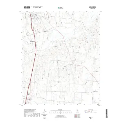
2019 Map of Howe
USGS Topo · Published 2019About this map
Sherman and Howe anchor this North Texas landscape, where the suburban expansion of the county seat meets the established agricultural patterns of the Texoma region. The topography is defined by the branching tributaries of Choctaw Cr, Post Oak Cr, and Cedar Cr, which carve gentle draws across the terrain. These watercourses historically dictated the placement of early settlements and family burial grounds, several of which remain preserved today.
Find a feature on this map
124 named features on this map. Tap any name to fly to it.
Don’t see what you’re looking for? This feature index may not catch every label — zoom into the map to look around manually.
Map Details
Editions of this 2019 Howe Map
This is the sole edition of this map. No revisions or reprints were ever made.
Other maps of this area

1901 · Denison
USGS Topo · 1:125,000

1954 · Sherman
USGS Topo · 1:250,000

1958 · Dorchester
USGS Topo · 1:24,000

1958 · Whitesright
USGS Topo · 1:62,500

1958 · Sherman NW
USGS Topo · 1:24,000

1958 · Sherman
USGS Topo · 1:250,000

1958 · Sherman
USGS Topo · 1:62,500

1958 · Sherman
USGS Topo · 1:24,000

1958 · Howe
USGS Topo · 1:24,000

1961 · Gunter
USGS Topo · 1:24,000