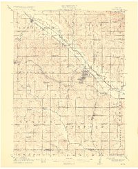
1915 Map of Howe
USGS Topo · Published 1915About this map
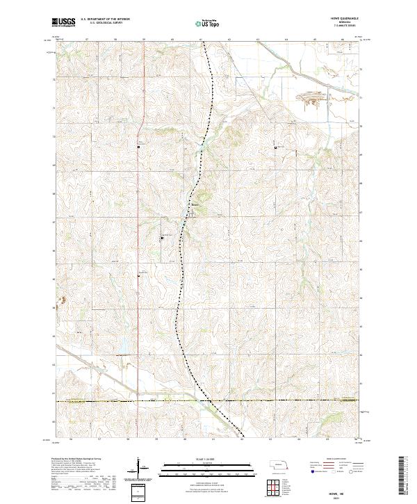
Auburn serves as the primary hub of this eastern Nebraska landscape, situated at the junction of the Missouri Pacific and the Chicago Burlington and Quincy railroads. The town's layout reflects its growth near the Little Nemaha River, which meanders through the central terrain. The map reveals an exceptionally dense network of rural schoolhouses, suggesting a highly organized township system during the early 20th century. Named institutions like Rush College School, Rosewood School, and Pleasant Ridge School are spaced nearly every few miles, highlighting the era's focus on local education for farming families.
Find a feature on this map
71 named features on this map. Tap any name to fly to it.
Don’t see what you’re looking for? This feature index may not catch every label — zoom into the map to look around manually.
Map Details
Editions of this 1915 Howe Map
2 editions found
Historical Maps of Auburn Through Time
11 maps found
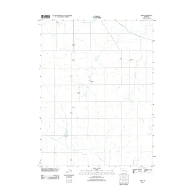
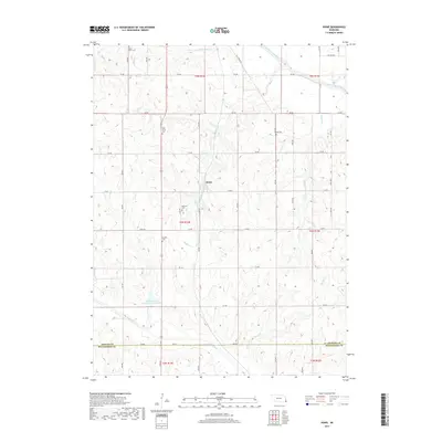
1915 Howe
Nemaha County, NE
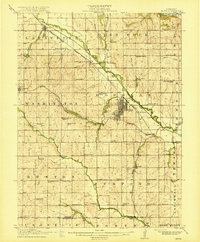
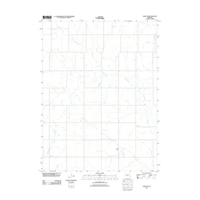
1966 Howe
Nemaha County, NE
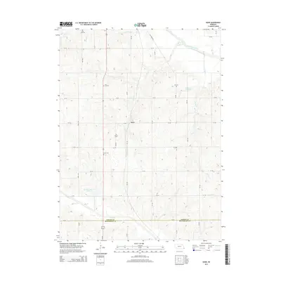
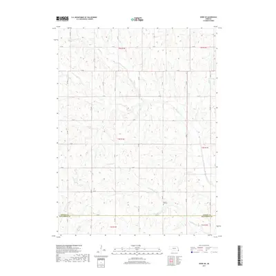
1966 Howe SW
Nemaha County, NE
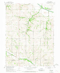
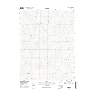
2011 Howe
Nemaha County, NE
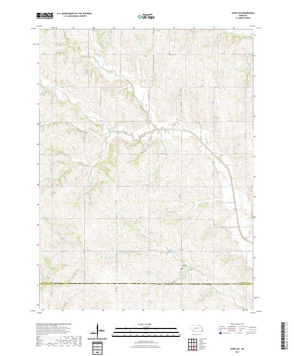
2011 Howe SW
Nemaha County, NE
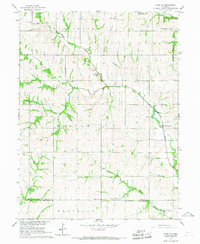
2014 Howe
Nemaha County, NE
2014 Howe SW
Nemaha County, NE
2017 Howe
Nemaha County, NE
2017 Howe SW
Nemaha County, NE
2021 Howe
Nemaha County, NE
2021 Howe SW
Nemaha County, NE