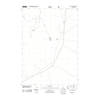
2011 Map of Howe Peak
USGS Topo · Published 2011About this map
Howe Peak anchors this high-elevation landscape in Butte County, overlooking a network of deep drainage systems that define the local topography. The map illustrates a primarily undeveloped area characterized by prominent geological features such as Sixmile Canyon and the bifurcated Eightmile Canyon, which splits into the Right Fork Eightmile Canyon and Left Fork Eightmile Canyon.
Find a feature on this map
6 named features on this map. Tap any name to fly to it.
Don’t see what you’re looking for? This feature index may not catch every label — zoom into the map to look around manually.
Map Details
Editions of this 2011 Howe Peak Map
This is the sole edition of this map. No revisions or reprints were ever made.
Other maps of this area

1955 · Idaho Falls
USGS Topo · 1:250,000

1958 · Idaho Falls
USGS Topo · 1:250,000

1969 · Arco Pass
USGS Topo · 1:24,000

1969 · Little Lost River Sinks
USGS Topo · 1:24,000

1969 · Howe
USGS Topo · 1:24,000

1972 · Arco Hills SE
USGS Topo · 1:24,000

1972 · Howe Peak
USGS Topo · 1:24,000

1972 · Butte City
USGS Topo · 1:24,000

1972 · Arco Hills
USGS Topo · 1:24,000

1973 · Circular Butte 3 SW
USGS Topo · 1:24,000