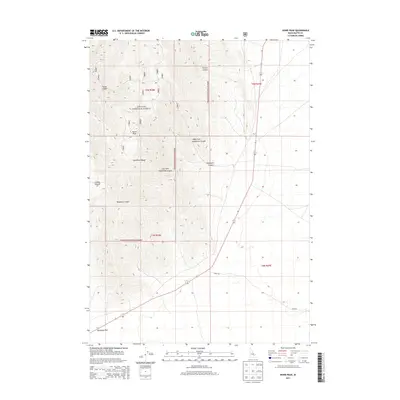
2013 Map of Howe Peak
USGS Topo · Published 2013About this map
The Lost River Range dominates this portion of the Idaho landscape, rising sharply from the basin floor to the summit of Howe Peak. This 2013 survey illustrates the rugged interface between public grazing lands and the protected wilderness of the Challis National Forest. A network of deep drainage systems, including Eightmile Canyon, Wood Canyon, and Deadman Canyon, carves through the limestone and volcanic ridges, revealing the complex geological history of the region.
Find a feature on this map
16 named features on this map. Tap any name to fly to it.
Don’t see what you’re looking for? This feature index may not catch every label — zoom into the map to look around manually.
Map Details
Editions of this 2013 Howe Peak Map
This is the sole edition of this map. No revisions or reprints were ever made.
Other maps of this area

1955 · Idaho Falls
USGS Topo · 1:250,000

1958 · Idaho Falls
USGS Topo · 1:250,000

1969 · Arco Pass
USGS Topo · 1:24,000

1969 · Little Lost River Sinks
USGS Topo · 1:24,000

1969 · Howe
USGS Topo · 1:24,000

1972 · Arco Hills SE
USGS Topo · 1:24,000

1972 · Howe Peak
USGS Topo · 1:24,000

1972 · Butte City
USGS Topo · 1:24,000

1972 · Arco Hills
USGS Topo · 1:24,000

1973 · Circular Butte 3 SW
USGS Topo · 1:24,000