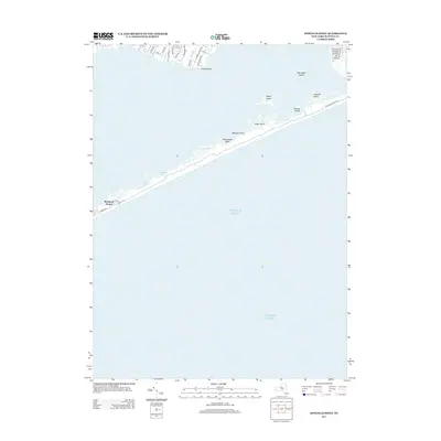
2013 Map of Howells Point
USGS Topo · Published 2013About this map
Howells Point and the neighboring shoreline of Brookhaven dominate the northern edge of this coastal survey, where suburban street grids meet the tidal waters of the Great South Bay. Residential corridors such as S Howells Point Rd and Otis Rd extend toward the marshy mouth of Howells Cr. This interface between developed Long Island and the protective barrier islands illustrates the complex management of coastal ecosystems and residential growth on the South Shore.
Find a feature on this map
33 named features on this map. Tap any name to fly to it.
Don’t see what you’re looking for? This feature index may not catch every label — zoom into the map to look around manually.
Map Details
Editions of this 2013 Howells Point Map
This is the sole edition of this map. No revisions or reprints were ever made.
Other maps of this area

1902 · Setauket
USGS Topo · 1:62,500

1902 · Fire Island
USGS Topo · 1:62,500

1903 · Fire Island
USGS Topo · 1:62,500

1904 · Setauket
USGS Topo · 1:62,500

1904 · Islip
USGS Topo · 1:125,000

1904 · Moriches
USGS Topo · 1:62,500

1919 · Setauket
USGS Topo · 1:62,500

1942 · Islip
USGS Topo · 1:125,000

1947 · Bellport
USGS Topo · 1:24,000

1947 · Howells Point
USGS Topo · 1:24,000