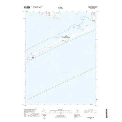
2019 Map of Howells Point
USGS Topo · Published 2019About this map
Fire Island National Seashore dominates the central landscape of this coastal survey, capturing the protective barrier of Fire Island and its many distinctive landforms. The map illustrates a series of marshy islands and points scattered through the waters, including Ridge Island, Pelican Island, and the specifically named Whalehouse Point. These features separate the vast expanse of the Atlantic Ocean from the sheltered waters of Great South Bay and Bellport Bay.
Find a feature on this map
34 named features on this map. Tap any name to fly to it.
Don’t see what you’re looking for? This feature index may not catch every label — zoom into the map to look around manually.
Map Details
Editions of this 2019 Howells Point Map
This is the sole edition of this map. No revisions or reprints were ever made.
Other maps of this area

1902 · Setauket
USGS Topo · 1:62,500

1902 · Fire Island
USGS Topo · 1:62,500

1903 · Fire Island
USGS Topo · 1:62,500

1904 · Setauket
USGS Topo · 1:62,500

1904 · Islip
USGS Topo · 1:125,000

1904 · Moriches
USGS Topo · 1:62,500

1919 · Setauket
USGS Topo · 1:62,500

1942 · Islip
USGS Topo · 1:125,000

1947 · Bellport
USGS Topo · 1:24,000

1947 · Howells Point
USGS Topo · 1:24,000