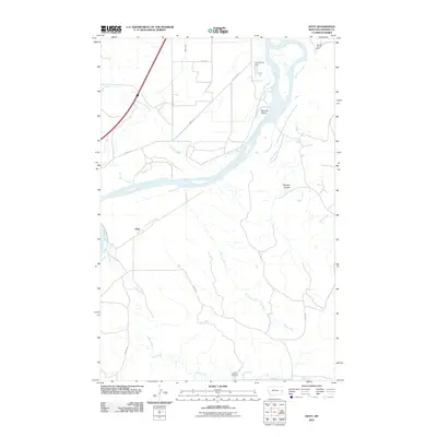
2011 Map of Hoyt
USGS Topo · Published 2011About this map
The Yellowstone River anchors this Dawson County landscape, carving a wide path that defines the local geography and transportation networks. The settlement of Hoyt sits near the riverbanks, served by the long-established corridor of Old US Hwy 10 and the more modern alignment of the Interstate. Evidence of the region's agricultural and industrial infrastructure is prominent, including the Main Canal, the Townhouse Dam, and the Western Gravel Spur railroad line.
Find a feature on this map
20 named features on this map. Tap any name to fly to it.
Don’t see what you’re looking for? This feature index may not catch every label — zoom into the map to look around manually.
Map Details
Editions of this 2011 Hoyt Map
This is the sole edition of this map. No revisions or reprints were ever made.
Other maps of this area

1909 · Glendive
USGS Topo · 1:250,000

1953 · Miles City
USGS Topo · 1:250,000

1954 · Glendive
USGS Topo · 1:250,000

1957 · Miles City
USGS Topo · 1:250,000

1957 · Glendive
USGS Topo · 1:250,000

1958 · Miles City
USGS Topo · 1:250,000

1958 · Glendive
USGS Topo · 1:250,000

1966 · Marsh SW
USGS Topo · 1:24,000

1967 · Marsh
USGS Topo · 1:24,000

1967 · Hoyt
USGS Topo · 1:24,000