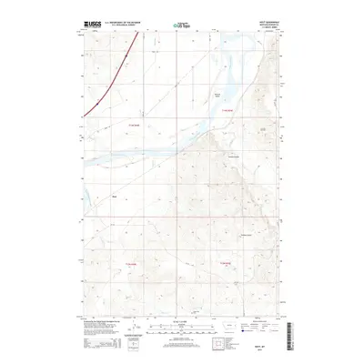
2014 Map of Hoyt
USGS Topo · Published 2014About this map
The Yellowstone River cuts a wide path through this Dawson County landscape, creating prominent riverine features like Monroe Island. To the south, the terrain becomes increasingly dissected by numerous drainages including Cabin Cr, Sand Cr, and the appropriately named Smokey Coulee. This 2014 survey documents the small settlement of Hoyt and provides a detailed look at the local infrastructure, from the Main Canal in the north to the network of local routes such as Road 255 and CR-130.
Find a feature on this map
22 named features on this map. Tap any name to fly to it.
Don’t see what you’re looking for? This feature index may not catch every label — zoom into the map to look around manually.
Map Details
Editions of this 2014 Hoyt Map
This is the sole edition of this map. No revisions or reprints were ever made.
Other maps of this area

1909 · Glendive
USGS Topo · 1:250,000

1953 · Miles City
USGS Topo · 1:250,000

1954 · Glendive
USGS Topo · 1:250,000

1957 · Miles City
USGS Topo · 1:250,000

1957 · Glendive
USGS Topo · 1:250,000

1958 · Miles City
USGS Topo · 1:250,000

1958 · Glendive
USGS Topo · 1:250,000

1966 · Marsh SW
USGS Topo · 1:24,000

1967 · Marsh
USGS Topo · 1:24,000

1967 · Hoyt
USGS Topo · 1:24,000