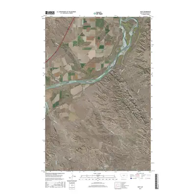
2017 Map of Hoyt
USGS Topo · Published 2017About this map
The Yellowstone River cuts a wide, braided path through this Dawson County landscape, creating prominent features like Monroe Island. To the west, the settlement of Hoyt sits near the riverbanks, serving as a focal point in a territory defined by high bluffs and numerous seasonal drainages. The influence of early 20th-century irrigation is evident in the presence of the Main Canal, which parallels the river to support local agriculture.
Find a feature on this map
23 named features on this map. Tap any name to fly to it.
Don’t see what you’re looking for? This feature index may not catch every label — zoom into the map to look around manually.
Map Details
Editions of this 2017 Hoyt Map
This is the sole edition of this map. No revisions or reprints were ever made.
Other maps of this area

1909 · Glendive
USGS Topo · 1:250,000

1953 · Miles City
USGS Topo · 1:250,000

1954 · Glendive
USGS Topo · 1:250,000

1957 · Miles City
USGS Topo · 1:250,000

1957 · Glendive
USGS Topo · 1:250,000

1958 · Miles City
USGS Topo · 1:250,000

1958 · Glendive
USGS Topo · 1:250,000

1966 · Marsh SW
USGS Topo · 1:24,000

1967 · Marsh
USGS Topo · 1:24,000

1967 · Hoyt
USGS Topo · 1:24,000