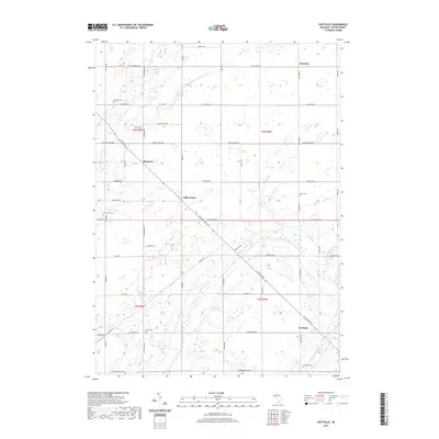
2019 Map of Hoytville
USGS Topo · Published 2019About this map
Hoytville and the surrounding rural townships of Eaton County are characterized by a dense grid of local highways and agricultural drains typical of the Michigan interior. Small rural clusters like Shaytown, Little Venice, and Gresham define the human landscape, connected by a network of named roads such as St Joseph Hwy and Clinton Trl. The area is notably dense with small family and community burial grounds, including Welch Cem, Moyer Cem, and Ames Cem, providing significant resources for genealogical study.
Find a feature on this map
59 named features on this map. Tap any name to fly to it.
Don’t see what you’re looking for? This feature index may not catch every label — zoom into the map to look around manually.
Map Details
Editions of this 2019 Hoytville Map
This is the sole edition of this map. No revisions or reprints were ever made.
Other maps of this area

1916 · Ionia
USGS Topo · 1:62,500

1918 · Ionia
USGS Topo · 1:62,500

1943 · Ionia
USGS Topo · 1:62,500

1945 · Portland
USGS Topo · 1:62,500

1949 · Charlotte
USGS Topo · 1:62,500

1950 · Nashville
USGS Topo · 1:62,500

1951 · Nashville
USGS Topo · 1:62,500

1958 · Grand Rapids
USGS Topo · 1:250,000

1961 · Grand Rapids
USGS Topo · 1:250,000

1962 · Grand Rapids
USGS Topo · 1:250,000