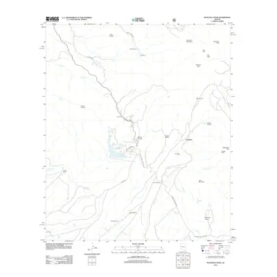
2012 Map of Huachuca Peak
USGS Topo · Published 2012About this map
Huachuca Peak and the high ridges of the Huachuca Mountains dominate this portion of Cochise County, where the landscape transitions from steep canyons to more open range land. Human activity is centered around remote ranching and seasonal camps, with sites like Peterson Ranch, Parker Ranch, and the small settlement at Sunnyside serving as local landmarks. The community at Sunnyside is supported by the nearby Sunnyside Ranch and the Sunnyside Cem, reflecting a long-standing history of habitation in these upland drainages.
Find a feature on this map
41 named features on this map. Tap any name to fly to it.
Don’t see what you’re looking for? This feature index may not catch every label — zoom into the map to look around manually.
Map Details
Editions of this 2012 Huachuca Peak Map
This is the sole edition of this map. No revisions or reprints were ever made.
Other maps of this area

1904 · Patagonia
USGS Topo · 1:125,000

1905 · Patagonia
USGS Topo · 1:125,000

1905 · Nogales
USGS Topo · 1:125,000

1914 · Hereford
USGS Topo · 1:125,000

1915 · Benson
USGS Topo · 1:125,000

1922 · Sunnyside
USGS Topo · 1:62,500

1932 · Lochiel
USGS Topo · 1:62,500

1932 · Elgin
USGS Topo · 1:62,500

1938 · Huachuca
USGS Topo · 1:62,500

1938 · Sunnyside
USGS Topo · 1:62,500