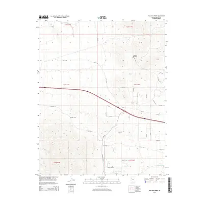
2014 Map of Hualapai Spring
USGS Topo · Published 2014About this map
Hualapai Spring lies at the base of the Peacock Mountains, marking a vital water source in this arid stretch of Mohave County. This 2014 survey documents a landscape of dramatic elevation changes where the mountain slopes descend into the broad Hualapai Valley. To the south, isolated water sources like Burn Spring and Lion Kill Spring are situated near the headwaters of seasonal drainages, including McGarrys Wash.
Find a feature on this map
48 named features on this map. Tap any name to fly to it.
Don’t see what you’re looking for? This feature index may not catch every label — zoom into the map to look around manually.
Map Details
Editions of this 2014 Hualapai Spring Map
This is the sole edition of this map. No revisions or reprints were ever made.
Other maps of this area

1886 · Diamond Creek
USGS Topo · 1:250,000

1892 · Diamond Creek
USGS Topo · 1:250,000

1948 · Williams
USGS Topo · 1:250,000

1954 · Williams
USGS Topo · 1:250,000

1956 · Williams
USGS Topo · 1:250,000

1960 · Williams
USGS Topo · 1:250,000

1961 · Williams
USGS Topo · 1:250,000
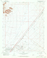
1968 · Kingman Airport
USGS Topo · 1:24,000
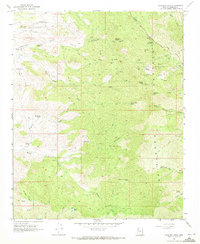
1968 · Hualapai Peak
USGS Topo · 1:24,000
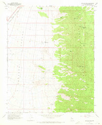
1968 · Peacock Peak
USGS Topo · 1:24,000