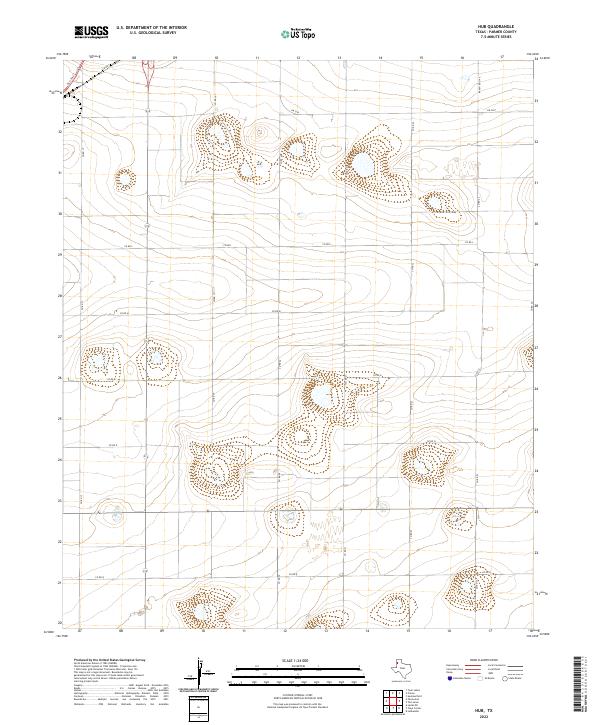
2022 Map of Hub
USGS Topo · Published 2022About this map
Parmer County’s wide agricultural expanses are meticulously documented in this 2022 survey, illustrating the grid-like precision of West Texas rural planning. The landscape is defined by a systematic network of county roads, including Co Rd L, Co Rd N, and Co Rd Q, which segment the terrain into uniform blocks. This organization is a hallmark of the Llano Estacado, where land use is dictated by the availability of water and the efficiency of transportation. State infrastructure like Fm 2397 and Ranch Rd 3140 serves as the primary arteries connecting these remote agricultural sections to larger hubs. Small playa lakes or depressions dot the surface between the road segments, providing a stark contrast to the straight-line geometry of Co Rd 19 and Co Rd 22.
Find a feature on this map
16 named features on this map. Tap any name to fly to it.
Don’t see what you’re looking for? This feature index may not catch every label — zoom into the map to look around manually.
Map Details
Editions of this 2022 Hub Map
This is the sole edition of this map. No revisions or reprints were ever made.
Other maps of this area

1954 · Clovis
USGS Topo · 1:250,000

1958 · Clovis
USGS Topo · 1:250,000

1963 · Clays Corner
USGS Topo · 1:24,000

1963 · Lazbuddie
USGS Topo · 1:24,000

1963 · Lariat NE
USGS Topo · 1:24,000

1965 · Tam Anne
USGS Topo · 1:24,000

1965 · Parmerton
USGS Topo · 1:24,000

1965 · Hub
USGS Topo · 1:24,000

1965 · Twin Lakes
USGS Topo · 1:24,000

1966 · Friona
USGS Topo · 1:24,000