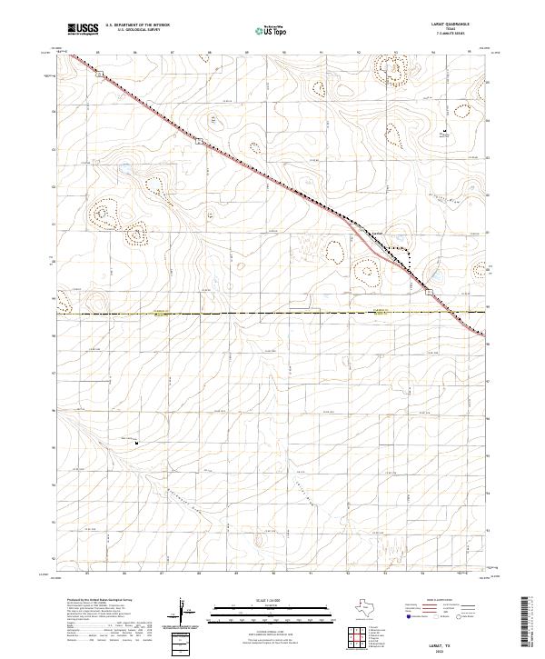
2022 Map of Lariat
USGS Topo · Published 2022About this map
The settlement of Lariat sits at a critical rail and road junction in the High Plains, where several ephemeral watercourses converge. This agricultural landscape is defined by its drainage patterns, most notably Progress Draw, Blackwater Draw, and Lariat Draw, which snake through the flat panhandle terrain. These draws historically dictated the placement of early ranching and farming operations, providing the only reliable topographic relief in an area otherwise partitioned by an exacting grid of county roads such as Co RD Aa and Co RD 1008.
Find a feature on this map
34 named features on this map. Tap any name to fly to it.
Don’t see what you’re looking for? This feature index may not catch every label — zoom into the map to look around manually.
Map Details
Editions of this 2022 Lariat Map
This is the sole edition of this map. No revisions or reprints were ever made.
Other maps of this area

1954 · Clovis
USGS Topo · 1:250,000

1957 · Clovis
USGS Topo · 1:62,500

1957 · Arch
USGS Topo · 1:62,500

1958 · Clovis
USGS Topo · 1:250,000

1962 · Birdwell Ranch
USGS Topo · 1:24,000

1962 · Baileyboro NE
USGS Topo · 1:24,000

1963 · Lariat
USGS Topo · 1:24,000

1963 · Oklahoma Lane
USGS Topo · 1:24,000

1963 · Lariat NE
USGS Topo · 1:24,000

1963 · Progress
USGS Topo · 1:24,000