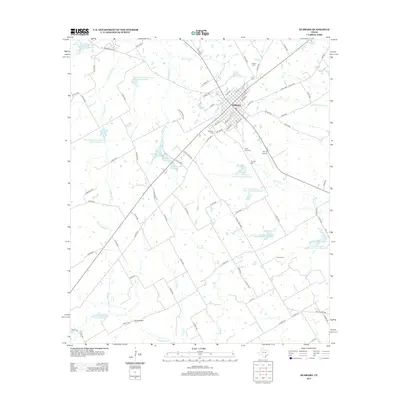
2013 Map of Hubbard
USGS Topo · Published 2013About this map
Hubbard serves as the central hub of this landscape, its grid of streets such as Maple and NW 2nd St radiating into the surrounding Hill County countryside. The area is characterized by an extensive water management system, featuring numerous reservoirs like Soil Conservation Service Site 91-A Reservoir and the Hubbard Lake Number 1 chain. These sites, along with the Navasota River and its tributaries like Cottonwood Cr and Turkey Cr, define the agricultural and hydrologic character of the region.
Find a feature on this map
86 named features on this map. Tap any name to fly to it.
Don’t see what you’re looking for? This feature index may not catch every label — zoom into the map to look around manually.
Map Details
Editions of this 2013 Hubbard Map
This is the sole edition of this map. No revisions or reprints were ever made.
Other maps of this area

1920 · Mart
USGS Topo · 1:62,500

1954 · Waco
USGS Topo · 1:250,000

1955 · Waco
USGS Topo · 1:250,000

1956 · Hubbard
USGS Topo · 1:24,000

1956 · Penelope
USGS Topo · 1:24,000

1956 · Axtell
USGS Topo · 1:24,000

1956 · Dawson
USGS Topo · 1:24,000

1957 · Irene
USGS Topo · 1:24,000

1957 · Prairie Hill
USGS Topo · 1:24,000

1957 · Groesbeck
USGS Topo · 1:62,500