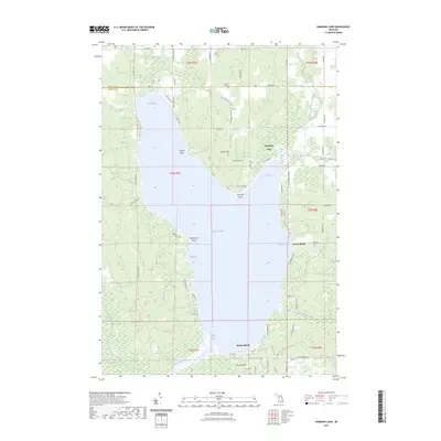
2023 Map of Hubbard Lake
USGS Topo · Published 2023About this map
Hubbard Lake dominates this northern Michigan landscape, straddling the border between Alpena Co and Alcona Co. The lake’s irregular shoreline is defined by several prominent features, including Doctors Point, Churchill Point, and the sandy stretches of Larson Beach and Backus Beach. To the south, the terrain rises toward Mount Maria, while the northern reaches transition into the wetlands surrounding Simmons Creek and the North Branch Holcomb Creek.
Find a feature on this map
76 named features on this map. Tap any name to fly to it.
Don’t see what you’re looking for? This feature index may not catch every label — zoom into the map to look around manually.
Map Details
Editions of this 2023 Hubbard Lake Map
This is the sole edition of this map. No revisions or reprints were ever made.
Other maps of this area

1954 · Tawas City
USGS Topo · 1:250,000

1958 · Tawas City
USGS Topo · 1:250,000

1959 · Glennie
USGS Topo · 1:62,500

1959 · Harrisville
USGS Topo · 1:62,500

1971 · Spruce
USGS Topo · 1:24,000
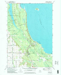
1971 · Ossineke
USGS Topo · 1:24,000

1972 · Hubbard Lake
USGS Topo · 1:24,000

1972 · Hubbard Lake SW
USGS Topo · 1:24,000
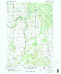
1972 · Big Ravine Creek
USGS Topo · 1:24,000
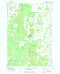
1972 · Evans Creek
USGS Topo · 1:24,000