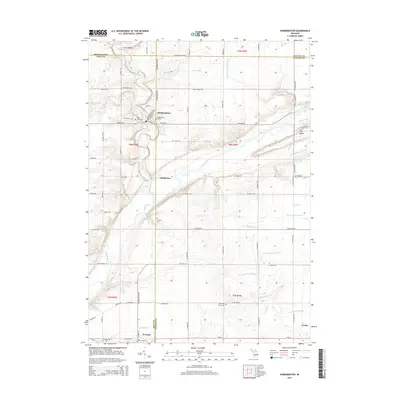
2014 Map of Hubbardston
USGS Topo · Published 2014About this map
Fish Creek and the Maple River converge near the village of Matherton, anchoring a landscape defined by its intricate drainage network and early 21st-century rural layout. This survey illustrates the junction of four counties — Montcalm, Ionia, Gratiot, and Clinton — highlighting the strategic placement of Hubbardston along the creek. The area is notable for its extensive system of agricultural drains, including named features like Connors and Sessions Drain and Catlin and Waters Drain, which follow the contours of the flat terrain. Genealogists will find significant local history in the cluster of burial sites, such as Saint Johns Cem and Hubbardston E Cem, alongside the more isolated E Plains Cem located south of the village. The map also captures the settlement of Pewamo to the south and a portion of Fowler in the southeast, providing a clear record of the road grid and township boundaries during this era.
Find a feature on this map
80 named features on this map. Tap any name to fly to it.
Don’t see what you’re looking for? This feature index may not catch every label — zoom into the map to look around manually.
Map Details
Editions of this 2014 Hubbardston Map
This is the sole edition of this map. No revisions or reprints were ever made.
Other maps of this area

1918 · Perrinton
USGS Topo · 1:62,500

1927 · De Witt
USGS Topo · 1:62,500

1943 · Perrinton
USGS Topo · 1:62,500

1945 · Portland
USGS Topo · 1:62,500

1954 · Midland
USGS Topo · 1:250,000

1958 · Midland
USGS Topo · 1:250,000

1958 · Grand Rapids
USGS Topo · 1:250,000

1959 · Midland
USGS Topo · 1:250,000

1961 · Grand Rapids
USGS Topo · 1:250,000

1962 · Grand Rapids
USGS Topo · 1:250,000