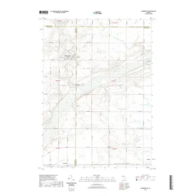
2019 Map of Hubbardston
USGS Topo · Published 2019About this map
Hubbardston and Matherton sit at the intersection of local history and rural geography along the banks of Fish Creek and the Maple River. This landscape is defined by its agricultural character and an intricate network of drainage systems, including the Bower Drain and Nichols Drain, which reflect generations of land management. Genealogists will find significant value in the documentation of several local burial grounds, such as Saint Johns Cem, Hubbardston East Cem, and Most Holy Trinity Cem. The southern edge of the map features the Pewamo and Fowler vicinities, connected by the Fred Meijer Clinton-Ionia-Shiawassee (CIS) State Trail, which repurposed a historic rail corridor through the region. The map also highlights the distinct landform known as The Island, situated where multiple drainages converge near the Maple River.
Find a feature on this map
87 named features on this map. Tap any name to fly to it.
Don’t see what you’re looking for? This feature index may not catch every label — zoom into the map to look around manually.
Map Details
Editions of this 2019 Hubbardston Map
This is the sole edition of this map. No revisions or reprints were ever made.
Other maps of this area

1918 · Perrinton
USGS Topo · 1:62,500

1927 · De Witt
USGS Topo · 1:62,500

1943 · Perrinton
USGS Topo · 1:62,500

1945 · Portland
USGS Topo · 1:62,500

1954 · Midland
USGS Topo · 1:250,000

1958 · Midland
USGS Topo · 1:250,000

1958 · Grand Rapids
USGS Topo · 1:250,000

1959 · Midland
USGS Topo · 1:250,000

1961 · Grand Rapids
USGS Topo · 1:250,000

1962 · Grand Rapids
USGS Topo · 1:250,000