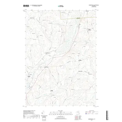
2019 Map of Hubbardsville
USGS Topo · Published 2019About this map
Hubbardsville and the winding Sangerfield River dominate this landscape on the Oneida and Madison county border. The map reveals a cluster of agricultural and residential hamlets including East Hamilton, South Hamilton, and North Brookfield, each connected by a network of rural roads that skirt high points like Robinson Hill and Cole Hill. To the north, the significant wetlands of Ninemile Swamp indicate the low-lying drainage patterns that have historically shaped local land use and development.
Find a feature on this map
93 named features on this map. Tap any name to fly to it.
Don’t see what you’re looking for? This feature index may not catch every label — zoom into the map to look around manually.
Map Details
Editions of this 2019 Hubbardsville Map
This is the sole edition of this map. No revisions or reprints were ever made.
Other maps of this area

1902 · Morrisville
USGS Topo · 1:62,500

1903 · Norwich
USGS Topo · 1:62,500

1907 · Sangerfield
USGS Topo · 1:62,500

1910 · New Berlin
USGS Topo · 1:62,500

1912 · New Berlin
USGS Topo · 1:62,500

1943 · New Berlin North
USGS Topo · 1:24,000

1943 · Hubbardsville
USGS Topo · 1:24,000

1943 · Cassville
USGS Topo · 1:24,000

1943 · Sangerfield
USGS Topo · 1:62,500
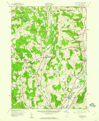
1943 · Brookfield
USGS Topo · 1:24,000