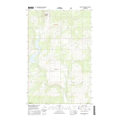
2017 Map of Hubbart Reservoir
USGS Topo · Published 2017About this map
Hubbart Reservoir and the winding course of the Little Bitterroot River anchor this 2017 survey of the Montana highlands along the boundary of Flathead and Sanders Counties. The landscape is defined by the sharp descent of numerous creeks, including Tamarack Cr and Briggs Cr, which feed the river system from the protected slopes of the Flathead National Forest. This modern record of the terrain preserves the locations of local thoroughfares such as Moore Ranch Rd and Metcalf Rd, alongside more remote access ways like Natl Forest Develop Road 5201 Rd. The map offers a precise look at the hydrology of the region, from the wide waters behind the dam to the smaller seasonal flows of Brooks Cr and Clear Cr.
Find a feature on this map
18 named features on this map. Tap any name to fly to it.
Don’t see what you’re looking for? This feature index may not catch every label — zoom into the map to look around manually.
Map Details
Editions of this 2017 Hubbart Reservoir Map
This is the sole edition of this map. No revisions or reprints were ever made.
Other maps of this area

1956 · Wallace
USGS Topo · 1:250,000

1957 · Kalispell
USGS Topo · 1:250,000

1960 · Kalispell
USGS Topo · 1:250,000

1960 · Wallace
USGS Topo · 1:250,000

1961 · Kalispell
USGS Topo · 1:250,000
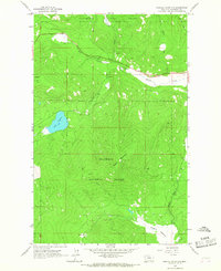
1964 · Haskill Mountain
USGS Topo · 1:24,000

1964 · Mill Pocket Creek
USGS Topo · 1:24,000
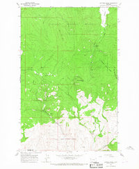
1964 · Kofford Ridge
USGS Topo · 1:24,000

1964 · Hubbart Reservoir
USGS Topo · 1:24,000

1964 · Murr Peak
USGS Topo · 1:24,000