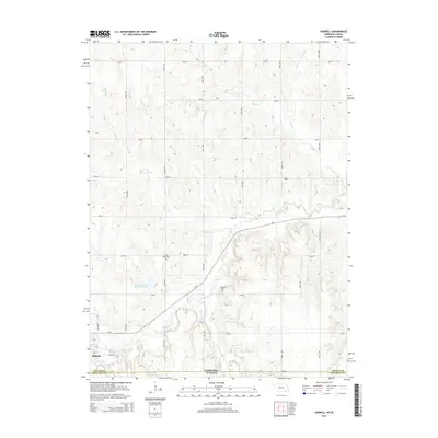
2014 Map of Hubbell
USGS Topo · Published 2014About this map
Hubbell occupies the southwestern corner of this survey, situated just above the state line where Nebraska meets Kansas. The landscape is defined by the drainage patterns of Rose Creek and its many tributaries, including Spring Branch, Balls Branch, and Humphrey Branch, which carve through the terrain of Thayer County.
Find a feature on this map
28 named features on this map. Tap any name to fly to it.
Don’t see what you’re looking for? This feature index may not catch every label — zoom into the map to look around manually.
Map Details
Editions of this 2014 Hubbell Map
This is the sole edition of this map. No revisions or reprints were ever made.
Other maps of this area

1892 · Concordia
USGS Topo · 1:125,000

1893 · Washington
USGS Topo · 1:125,000

1898 · Hebron
USGS Topo · 1:125,000

1955 · Manhattan
USGS Topo · 1:250,000

1955 · Lincoln
USGS Topo · 1:250,000

1956 · Manhattan
USGS Topo · 1:250,000

1957 · Manhattan
USGS Topo · 1:250,000

1957 · Lincoln
USGS Topo · 1:250,000

1958 · Lincoln
USGS Topo · 1:250,000

1960 · Chester
USGS Topo · 1:24,000