
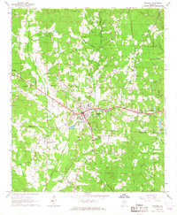
1967 Map of Hubbertville
USGS Topo · Published 1968About this map
The Sipsey River carves a winding path through this corner of Northwest Alabama, defining the agrarian landscape near the Walker County and Fayette County line. In the late 1960s, the community of Hubbertville serves as a primary hub, while smaller centers like Fowlers Crossroads dot the rural interior. The map is a significant resource for genealogists, documenting a high density of country churches and family-named burial grounds, including the Killingsworth Ch Cem, Mayfield Ch Cem, and Hollingsworth Cem.
Find a feature on this map
42 named features on this map. Tap any name to fly to it.
Don’t see what you’re looking for? This feature index may not catch every label — zoom into the map to look around manually.
Map Details
Editions of this 1967 Hubbertville Map
2 editions found
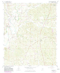
Other maps of this area

1953 · Birmingham
USGS Topo · 1:250,000

1956 · Birmingham
USGS Topo · 1:250,000

1957 · Birmingham
USGS Topo · 1:250,000

1967 · Bankston
USGS Topo · 1:24,000

1967 · Winfield SE
USGS Topo · 1:24,000
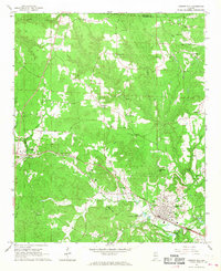
1967 · Carbon Hill
USGS Topo · 1:24,000
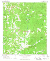
1967 · Glen Allen
USGS Topo · 1:24,000
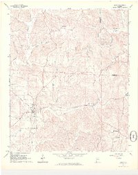
1967 · Berry
USGS Topo · 1:24,000

1967 · Fayette
USGS Topo · 1:24,000
1967 · Winfield
USGS Topo · 1:24,000