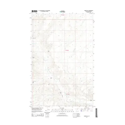
2014 Map of Hubert Hill
USGS Topo · Published 2014About this map
Hubert Hill rises above the dramatic coulees of Phillips County in this 2014 survey. The landscape is defined by the erosion patterns of the northern plains, where seasonal drainages like Alkali Coulee and Wilson Coulee carve through the high ground. Large topographic features such as Emerick Bench and Hat Flat indicate the broad, elevated plateaus characteristic of this region. Human presence is sparse, marked primarily by the transition from N Wagner Rd into a network of section lines and trails. The map documents the intricate hydrology of the area, tracing the winding path of Cottonwood Cr and several named coulees, including Joiner Coulee and Lambing Coulee, providing a clear look at the drainage systems that dictate land use in this part of Montana.
Find a feature on this map
12 named features on this map. Tap any name to fly to it.
Don’t see what you’re looking for? This feature index may not catch every label — zoom into the map to look around manually.
Map Details
Editions of this 2014 Hubert Hill Map
This is the sole edition of this map. No revisions or reprints were ever made.
Other maps of this area

1920 · Avery
USGS Topo · 1:125,000

1920 · Cowan
USGS Topo · 1:125,000

1953 · Havre
USGS Topo · 1:250,000

1954 · Glasgow
USGS Topo · 1:250,000

1957 · Glasgow
USGS Topo · 1:250,000

1957 · Havre
USGS Topo · 1:250,000

1958 · Glasgow
USGS Topo · 1:250,000

1958 · Havre
USGS Topo · 1:250,000

1984 · Chapman
USGS Topo · 1:24,000

1984 · Emerick Bench
USGS Topo · 1:24,000