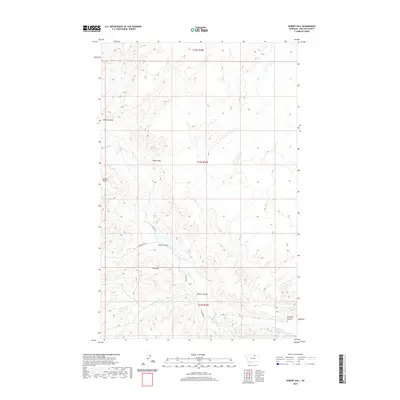
2020 Map of Hubert Hill
USGS Topo · Published 2020About this map
Hubert Hill rises above the drainage networks of north-central Montana in this recent topographic study of Phillips County. The landscape is defined by its coulees, with Alkali Coulee and Joiner Coulee cutting through the terrain to feed the seasonal flow of Cottonwood Creek. The presence of Emerick Bench and Hat Flat suggests a land of subtle elevations and high plains, typical of the northern Great Plains geography where drainage patterns dictate the movement of both water and early travel routes.
Find a feature on this map
14 named features on this map. Tap any name to fly to it.
Don’t see what you’re looking for? This feature index may not catch every label — zoom into the map to look around manually.
Map Details
Editions of this 2020 Hubert Hill Map
This is the sole edition of this map. No revisions or reprints were ever made.
Other maps of this area

1920 · Avery
USGS Topo · 1:125,000

1920 · Cowan
USGS Topo · 1:125,000

1953 · Havre
USGS Topo · 1:250,000

1954 · Glasgow
USGS Topo · 1:250,000

1957 · Glasgow
USGS Topo · 1:250,000

1957 · Havre
USGS Topo · 1:250,000

1958 · Glasgow
USGS Topo · 1:250,000

1958 · Havre
USGS Topo · 1:250,000

1984 · Chapman
USGS Topo · 1:24,000

1984 · Emerick Bench
USGS Topo · 1:24,000