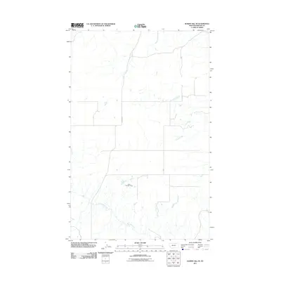
2011 Map of Hubert Hill SE
USGS Topo · Published 2011About this map
The northern plains of Phillips County are defined by a network of drainage channels and ranch roads in this 2011 survey. Water management is central to the landscape, anchored by the Olson Number 1 Dam which sits at the center of the sheet. The terrain is carved by the winding paths of Assiniboine Creek and Garland Creek, which follow the natural contours of the region. Transportation across these open spaces relies on routes like N Wagner Rd, reflecting the sparse, large-scale land use characteristic of north-central Montana. This map offers a clear look at the hydraulic and infrastructure features maintained by local landholders and the U.S. Geological Survey in the early 21st century.
Find a feature on this map
4 named features on this map. Tap any name to fly to it.
Don’t see what you’re looking for? This feature index may not catch every label — zoom into the map to look around manually.
Map Details
Editions of this 2011 Hubert Hill SE Map
This is the sole edition of this map. No revisions or reprints were ever made.
Other maps of this area

1920 · Avery
USGS Topo · 1:125,000

1920 · Cowan
USGS Topo · 1:125,000

1953 · Havre
USGS Topo · 1:250,000

1954 · Glasgow
USGS Topo · 1:250,000

1957 · Glasgow
USGS Topo · 1:250,000

1957 · Havre
USGS Topo · 1:250,000

1958 · Glasgow
USGS Topo · 1:250,000

1958 · Havre
USGS Topo · 1:250,000

1964 · Dodson NE
USGS Topo · 1:24,000

1964 · Dodson
USGS Topo · 1:24,000