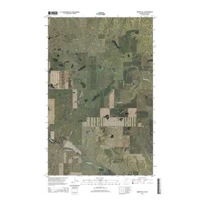
2014 Map of Hubert Hill SE
USGS Topo · Published 2014About this map
Assiniboine Cr and Garland Cr weave through this section of Phillips County, defining the drainage patterns of a landscape marked by subtle elevation shifts and the prominent Hubert Hill. The terrain is organized by a systematic grid of township lines, including t33n r28e and t32n r28e, which reflect the enduring influence of the Public Land Survey System on Montana's ranching and agricultural geography. A sparse but essential network of local corridors, such as Williamson Rd and N Wagner Rd, provides the primary infrastructure for the area. The placement of these roads, including Sjostrom Rd and Assiniboine Rd, illustrates how transportation follows the section lines and natural contours of the northern plains, serving the isolated homesteads and land tracts that characterize this high prairie region.
Find a feature on this map
11 named features on this map. Tap any name to fly to it.
Don’t see what you’re looking for? This feature index may not catch every label — zoom into the map to look around manually.
Map Details
Editions of this 2014 Hubert Hill SE Map
This is the sole edition of this map. No revisions or reprints were ever made.
Other maps of this area

1920 · Avery
USGS Topo · 1:125,000

1920 · Cowan
USGS Topo · 1:125,000

1953 · Havre
USGS Topo · 1:250,000

1954 · Glasgow
USGS Topo · 1:250,000

1957 · Glasgow
USGS Topo · 1:250,000

1957 · Havre
USGS Topo · 1:250,000

1958 · Glasgow
USGS Topo · 1:250,000

1958 · Havre
USGS Topo · 1:250,000

1964 · Dodson NE
USGS Topo · 1:24,000

1964 · Dodson
USGS Topo · 1:24,000