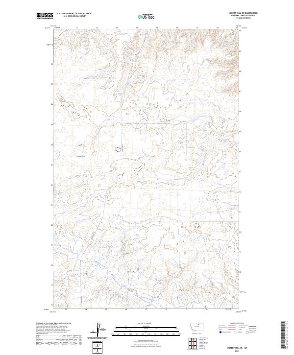
2024 Map of Hubert Hill SE
USGS Topo · Published 2024About this map
Assiniboine Creek and Garland Creek cut through this Phillips County landscape, illustrating the essential water sources that have long dictated the rhythms of land use in this part of Montana. The map reveals a highly structured Public Land Survey System grid, with several townships and ranges converging here, including t33n r28e and t32n r28e. This geometric organization is further reinforced by the local transportation network, where routes such as Williamson Rd and N Wagner Rd follow the section lines. The presence of numerous small, scattered water bodies across the plains suggests a terrain shaped by seasonal drainage and intermittent wetlands, characteristic of the northern high plains ecology during this 2024 survey.
Find a feature on this map
8 named features on this map. Tap any name to fly to it.
Don’t see what you’re looking for? This feature index may not catch every label — zoom into the map to look around manually.
Map Details
Editions of this 2024 Hubert Hill SE Map
This is the sole edition of this map. No revisions or reprints were ever made.
Other maps of this area

1920 · Avery
USGS Topo · 1:125,000

1920 · Cowan
USGS Topo · 1:125,000

1953 · Havre
USGS Topo · 1:250,000

1954 · Glasgow
USGS Topo · 1:250,000

1957 · Glasgow
USGS Topo · 1:250,000

1957 · Havre
USGS Topo · 1:250,000

1958 · Glasgow
USGS Topo · 1:250,000

1958 · Havre
USGS Topo · 1:250,000

1964 · Dodson NE
USGS Topo · 1:24,000

1964 · Dodson
USGS Topo · 1:24,000