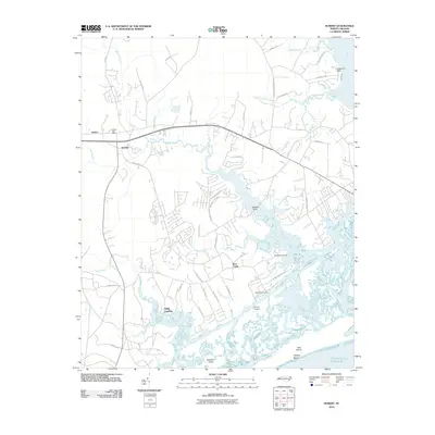
2010 Map of Hubert
USGS Topo · Published 2010About this map
The coastal wetlands and maritime forests of Onslow County define this 2010 survey, where the White Oak River meets the Atlantic Ocean. The community of Hubert and its Hubert Post Office serve as a central hub for the residential developments and rural roads branching toward the water. To the south, the massive federal footprint of Camp Lejeune occupies much of the landscape, bordering the intricate network of tidal creeks including Bear Creek and Goose Creek.
Find a feature on this map
52 named features on this map. Tap any name to fly to it.
Don’t see what you’re looking for? This feature index may not catch every label — zoom into the map to look around manually.
Map Details
Editions of this 2010 Hubert Map
This is the sole edition of this map. No revisions or reprints were ever made.
Other maps of this area

1942 · Maysville
USGS Topo · 1:62,500

1942 · Swansboro
USGS Topo · 1:62,500

1943 · Jacksonville
USGS Topo · 1:62,500

1948 · Maysville
USGS Topo · 1:62,500

1948 · Swansboro
USGS Topo · 1:62,500

1948 · New River
USGS Topo · 1:62,500

1952 · Hubert
USGS Topo · 1:24,000

1952 · Camp Lejeune
USGS Topo · 1:24,000

1952 · Swansboro
USGS Topo · 1:24,000

1952 · Browns Inlet
USGS Topo · 1:24,000