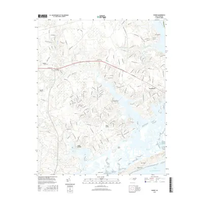
2016 Map of Hubert
USGS Topo · Published 2016About this map
The White Oak River and the Atlantic Ocean define the aquatic landscape of eastern Onslow County, where the Intracoastal Waterway cuts behind a series of barrier features. Coastal morphology is prominent here, shown through the tidal structures of Bear Island and Finns Island, with the Bogue Inlet and Bear Inlet providing passage from Onslow Bay into the complex network of sounds and salt marshes. The settlement of Swansboro sits at a strategic point where the river meets the sea, serving as a hub for the surrounding smaller communities.
Find a feature on this map
163 named features on this map. Tap any name to fly to it.
Don’t see what you’re looking for? This feature index may not catch every label — zoom into the map to look around manually.
Map Details
Editions of this 2016 Hubert Map
This is the sole edition of this map. No revisions or reprints were ever made.
Other maps of this area

1942 · Maysville
USGS Topo · 1:62,500

1942 · Swansboro
USGS Topo · 1:62,500

1943 · Jacksonville
USGS Topo · 1:62,500

1948 · Maysville
USGS Topo · 1:62,500

1948 · Swansboro
USGS Topo · 1:62,500

1948 · New River
USGS Topo · 1:62,500

1952 · Hubert
USGS Topo · 1:24,000

1952 · Camp Lejeune
USGS Topo · 1:24,000

1952 · Swansboro
USGS Topo · 1:24,000

1952 · Browns Inlet
USGS Topo · 1:24,000