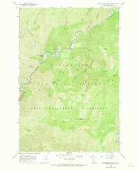
1966 Map of Huckleberry Butte
USGS Topo · Published 1969About this map
The Lochsa River carves a deep path through this mid-1960s landscape, serving as the central artery for a region defined by its protected wilderness status. This survey shows the boundary between the Clearwater National Forest and the Selway-Bitterroot Wilderness, highlighting a period when management and access infrastructure were actively developing. The Lochsa Work Center and a nearby Gaging Station indicate the administrative and scientific oversight of the river corridor.
Find a feature on this map
40 named features on this map. Tap any name to fly to it.
Don’t see what you’re looking for? This feature index may not catch every label — zoom into the map to look around manually.
Map Details
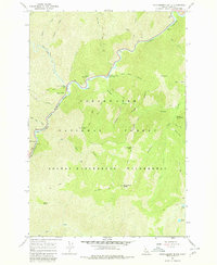
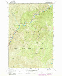
Editions of this 1966 Huckleberry Butte Map
3 editions found
Other maps of this area

1911 · Lolo
USGS Topo · 1:250,000

1913 · Lolo
USGS Topo · 1:250,000

1956 · Hamilton
USGS Topo · 1:250,000

1959 · Hamilton
USGS Topo · 1:250,000

1960 · Hamilton
USGS Topo · 1:250,000

1964 · Hamilton
USGS Topo · 1:250,000
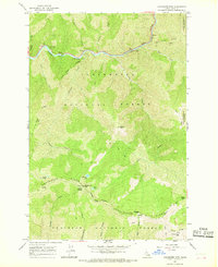
1966 · Coolwater Mtn
USGS Topo · 1:24,000
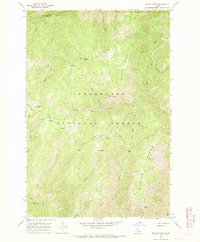
1966 · Weitas Butte
USGS Topo · 1:24,000
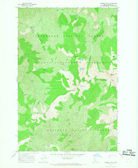
1966 · Chimney Peak
USGS Topo · 1:24,000
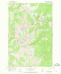
1966 · Fenn Mountain
USGS Topo · 1:24,000