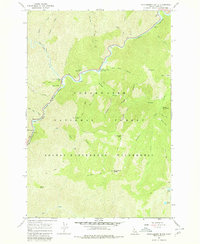
1966 Map of Huckleberry Butte
USGS Topo · Published 1980About this map
The Lochsa River carves a deep path through the center of this 1960s survey, marking a primary corridor through the Clearwater National Forest. The landscape is defined by its network of water and ridges, where the Wilderness Gateway Pack Bridge and various stretches of Pack Trail provide the only significant access points into the high country. To the south, the terrain rises toward Huckleberry Butte and Cantaloupe Peak, deep within the Selway-Bitterroot Wilderness. Small human imprints appear at the Lochsa Work Center and Boulder Flat, while a Gaging Station monitors the river's flow near Mile 25. The map records a wilderness largely untouched by development, preserving the positions of remote landmarks like Stanley Hot Springs and high-elevation waters including Lottie Lake and Maude Lake.
Find a feature on this map
46 named features on this map. Tap any name to fly to it.
Don’t see what you’re looking for? This feature index may not catch every label — zoom into the map to look around manually.
Map Details
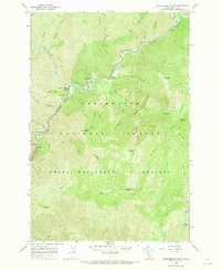
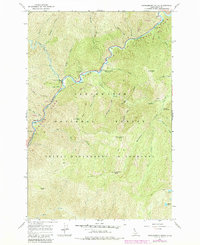
Editions of this 1966 Huckleberry Butte Map
3 editions found
Other maps of this area

1911 · Lolo
USGS Topo · 1:250,000

1913 · Lolo
USGS Topo · 1:250,000

1956 · Hamilton
USGS Topo · 1:250,000

1959 · Hamilton
USGS Topo · 1:250,000

1960 · Hamilton
USGS Topo · 1:250,000

1964 · Hamilton
USGS Topo · 1:250,000
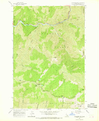
1966 · Coolwater Mtn
USGS Topo · 1:24,000
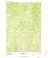
1966 · Weitas Butte
USGS Topo · 1:24,000
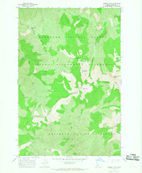
1966 · Chimney Peak
USGS Topo · 1:24,000
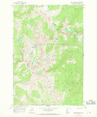
1966 · Fenn Mountain
USGS Topo · 1:24,000