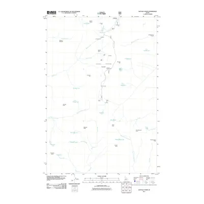
2011 Map of Buffalo Hump
USGS Topo · Published 2011About this map
The high peaks and deep canyons of Idaho County are defined by a legacies of hard-rock mining in this 2011 survey. Centered around the prominent Buffalo Hump massif, the landscape is dotted with historical mining claims and small settlements that speak to the area's industrial past. Locations such as Concord and the colorfully named Humptown serve as anchor points for a network of operations including the Big Buffalo Mine, Mother Lode Mine, and the Atlas Mill.
Find a feature on this map
59 named features on this map. Tap any name to fly to it.
Don’t see what you’re looking for? This feature index may not catch every label — zoom into the map to look around manually.
Map Details
Editions of this 2011 Buffalo Hump Map
This is the sole edition of this map. No revisions or reprints were ever made.
Other maps of this area

1931 · Buffalo Hump
USGS Topo · 1:125,000

1934 · Buffalo Hump
USGS Topo · 1:125,000

1956 · Burgdorf
USGS Topo · 1:62,500

1956 · Warren
USGS Topo · 1:62,500

1956 · Elk City
USGS Topo · 1:250,000

1960 · Elk City
USGS Topo · 1:250,000

1963 · Sourdough Peak
USGS Topo · 1:24,000

1963 · Marble Butte
USGS Topo · 1:24,000

1977 · Silver Spur Ridge
USGS Topo · 1:24,000

1979 · Buffalo Hump
USGS Topo · 1:24,000