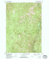
1991 Map of Spot Mountain
USGS Topo · Published 1995About this map
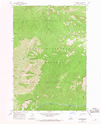
Spot Mountain and its prominent Lookout Tower command the high ground of the Bitterroot Mountains in this early 1990s survey of the Idaho backcountry. The landscape is defined by the convergence of the Selway River and the Middle Fork Clearwater River, both designated as the Selway and Clearwater Wild and Scenic River. Human presence is limited to primitive infrastructure, including an Indian Trail and various Pack Trails that navigate the ridges between peaks like Mt Aura and Nick Wynn Mtn.
Find a feature on this map
30 named features on this map. Tap any name to fly to it.
Don’t see what you’re looking for? This feature index may not catch every label — zoom into the map to look around manually.
Map Details
Editions of this 1991 Spot Mountain Map
This is the sole edition of this map. No revisions or reprints were ever made.
Other maps of this area

1956 · Elk City
USGS Topo · 1:250,000

1960 · Elk City
USGS Topo · 1:250,000

1962 · Beaver Jack Mtn
USGS Topo · 1:24,000

1966 · Spot Mountain
USGS Topo · 1:24,000

1966 · Three Prong Mountain
USGS Topo · 1:24,000
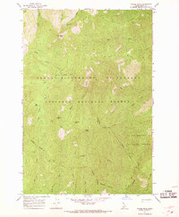
1966 · Wylies Peak
USGS Topo · 1:24,000
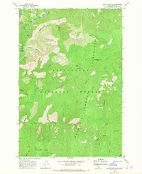
1966 · Burnt Strip Mtn
USGS Topo · 1:24,000
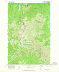
1966 · Gardiner Peak
USGS Topo · 1:24,000
1966 · Mt George
USGS Topo · 1:24,000

1978 · Magruder Mtn
USGS Topo · 1:24,000