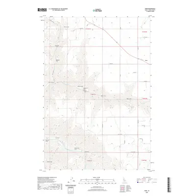
2020 Map of Fenn
USGS Topo · Published 2020About this map
Fenn serves as a primary settlement point on the Camas Prairie, situated where Market Rd and the 95 corridor meet. The landscape is defined by the sharp transition from the flat agricultural tablelands down into the deep, intricate drainages that feed the Salmon River. These steep-walled canyons are marked by family-named landmarks like Ray Church Gulch, Vonberge Gulch, and Hanley Gulch, reflecting the homesteading and ranching history of Idaho County.
Find a feature on this map
47 named features on this map. Tap any name to fly to it.
Don’t see what you’re looking for? This feature index may not catch every label — zoom into the map to look around manually.
Map Details
Editions of this 2020 Fenn Map
This is the sole edition of this map. No revisions or reprints were ever made.
Other maps of this area

1924 · Kamiah
USGS Topo · 1:125,000

1955 · Pullman
USGS Topo · 1:250,000

1955 · Grangeville
USGS Topo · 1:250,000

1958 · Pullman
USGS Topo · 1:250,000

1959 · Grangeville
USGS Topo · 1:250,000

1963 · Grangeville West
USGS Topo · 1:24,000

1963 · White Bird Hill
USGS Topo · 1:24,000

1963 · Moughmer Point
USGS Topo · 1:24,000

1963 · Joseph
USGS Topo · 1:24,000

1963 · White Bird
USGS Topo · 1:24,000