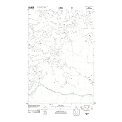
2011 Map of Syringa
USGS Topo · Published 2011About this map
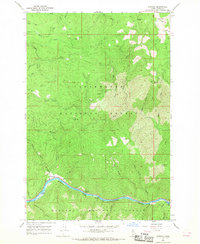
The settlement of Syringa sits at the confluence of Little Smith Creek and the Middle Fork Clearwater River, serving as a primary access point into this Idaho County landscape. At the time of this 2011 survey, a complex network of forest development roads, such as Nat For Dev Rd 460 and Smith Creek Rd, provided routes through the high ridges and deep drainages. High points like Walde Mountain, Jungle Point, and Big Hill define the horizon, while smaller features like Smith Saddle and Higgins Hump suggest the area's history of local naming and navigation. The presence of the Smith Mine on Placer Creek points to the region's mineral history, while the Wild Goose Campground near Docker Creek marks the area's transition into a destination for river-based recreation.
Find a feature on this map
39 named features on this map. Tap any name to fly to it.
Don’t see what you’re looking for? This feature index may not catch every label — zoom into the map to look around manually.
Map Details
Editions of this 2011 Syringa Map
This is the sole edition of this map. No revisions or reprints were ever made.
Other maps of this area

1924 · Weippe
USGS Topo · 1:125,000

1956 · Hamilton
USGS Topo · 1:250,000

1959 · Hamilton
USGS Topo · 1:250,000

1960 · Hamilton
USGS Topo · 1:250,000

1964 · Hamilton
USGS Topo · 1:250,000
1966 · Big Cedar
USGS Topo · 1:24,000
1966 · Glenwood
USGS Topo · 1:24,000

1966 · Lowell
USGS Topo · 1:24,000
1966 · Brown Creek Ridge
USGS Topo · 1:24,000
1966 · Syringa
USGS Topo · 1:24,000