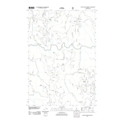
2011 Map of Center Star Mountain
USGS Topo · Published 2011About this map
Center Star Mountain stands as the central landmark in this high-elevation Idaho landscape, where the South Fork Clearwater River carves a deep path through the terrain. The map reveals an intensive history of resource extraction, particularly concentrated in the southern and eastern quadrants. Numerous mining operations, including the Elk City Mining Company and the Idaho Champion Group Prospects, are distributed throughout the drainage basins of the Crooked River and South Fork Clearwater River.
Find a feature on this map
46 named features on this map. Tap any name to fly to it.
Don’t see what you’re looking for? This feature index may not catch every label — zoom into the map to look around manually.
Map Details
Editions of this 2011 Center Star Mountain Map
This is the sole edition of this map. No revisions or reprints were ever made.
Other maps of this area

1931 · Buffalo Hump
USGS Topo · 1:125,000

1934 · Buffalo Hump
USGS Topo · 1:125,000

1956 · Elk City
USGS Topo · 1:250,000

1960 · Elk City
USGS Topo · 1:250,000

1962 · Golden
USGS Topo · 1:24,000

1962 · Center Star Mtn
USGS Topo · 1:24,000

1962 · Iron Mtn
USGS Topo · 1:24,000

1962 · Pilot Knob
USGS Topo · 1:24,000

1966 · Elk City
USGS Topo · 1:24,000

1966 · Lick Point
USGS Topo · 1:24,000