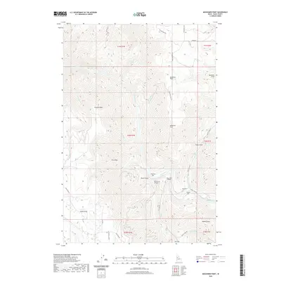
2020 Map of Moughmer Point
USGS Topo · Published 2020About this map
The Salmon River cuts through the center of this landscape, creating a deep corridor flanked by high ridges and alluvial bars. Landmarks such as American Bar and Cooper Bar line the riverbanks, while the Rice Creek Bridge provides a critical crossing point for the road network. To the south, the expansive Joseph Plains dominate the terrain, connected to the river valley by winding routes like Joseph Plains Rd and Rice Creek Rd.
Find a feature on this map
44 named features on this map. Tap any name to fly to it.
Don’t see what you’re looking for? This feature index may not catch every label — zoom into the map to look around manually.
Map Details
Editions of this 2020 Moughmer Point Map
This is the sole edition of this map. No revisions or reprints were ever made.
Other maps of this area

1924 · Kamiah
USGS Topo · 1:125,000

1955 · Pullman
USGS Topo · 1:250,000

1955 · Grangeville
USGS Topo · 1:250,000

1958 · Pullman
USGS Topo · 1:250,000

1959 · Grangeville
USGS Topo · 1:250,000

1963 · Boles
USGS Topo · 1:24,000

1963 · Moughmer Point
USGS Topo · 1:24,000

1963 · Joseph
USGS Topo · 1:24,000

1963 · White Bird
USGS Topo · 1:24,000

1963 · Wolf Creek
USGS Topo · 1:24,000