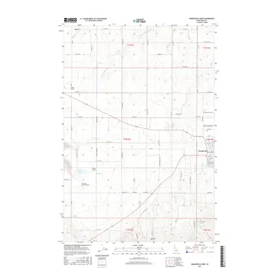
2017 Map of Grangeville West
USGS Topo · Published 2017About this map
The plateau landscape of Idaho County is anchored by Grangeville, where the grid of city streets transitions into the expansive agricultural sections of the Camas Prairie. This 2017 study illustrates the intersection of rural life and aviation, featuring both the Idaho County Airport on the eastern edge and the private Wind Ridge Airport to the south. North of the city, the small settlement of Denver remains a point of interest for genealogists, particularly with the inclusion of Denver Cemetary Rd nearby.
Find a feature on this map
75 named features on this map. Tap any name to fly to it.
Don’t see what you’re looking for? This feature index may not catch every label — zoom into the map to look around manually.
Map Details
Editions of this 2017 Grangeville West Map
This is the sole edition of this map. No revisions or reprints were ever made.
Other maps of this area
1924 · Kamiah
USGS Topo · 1:125,000
1955 · Pullman
USGS Topo · 1:250,000
1955 · Grangeville
USGS Topo · 1:250,000
1958 · Pullman
USGS Topo · 1:250,000
1959 · Grangeville
USGS Topo · 1:250,000
1963 · Goodwin Meadows
USGS Topo · 1:24,000
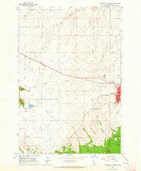
1963 · Grangeville West
USGS Topo · 1:24,000
1963 · White Bird Hill
USGS Topo · 1:24,000
1963 · Grangeville East
USGS Topo · 1:24,000
1963 · White Bird
USGS Topo · 1:24,000