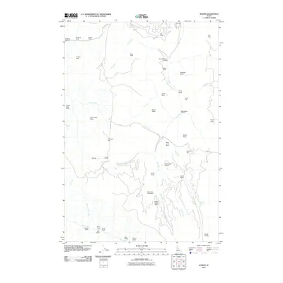
2010 Map of Joseph
USGS Topo · Published 2010About this map
Joseph is the central settlement in this high-plateau region of Idaho County, where the landscape is defined by the steep transition from the Joseph Plains Rd down toward numerous drainages. The area’s history is preserved at the Joseph Cemetery, while the surrounding terrain bears the names of early residents and landmarks such as Abercombie Ridge, Twogood Flat, and Rose Lewis Point.
Find a feature on this map
53 named features on this map. Tap any name to fly to it.
Don’t see what you’re looking for? This feature index may not catch every label — zoom into the map to look around manually.
Map Details
Editions of this 2010 Joseph Map
This is the sole edition of this map. No revisions or reprints were ever made.
Other maps of this area

1954 · Kernan Point
USGS Topo · 1:62,500

1955 · Grangeville
USGS Topo · 1:250,000

1959 · Grangeville
USGS Topo · 1:250,000

1963 · Slate Creek
USGS Topo · 1:24,000

1963 · Boles
USGS Topo · 1:24,000

1963 · Moughmer Point
USGS Topo · 1:24,000

1963 · Joseph
USGS Topo · 1:24,000

1963 · Grave Point
USGS Topo · 1:24,000

1963 · White Bird
USGS Topo · 1:24,000

1963 · Wolf Creek
USGS Topo · 1:24,000