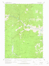
1956 Map of Warren
USGS Topo · Published 1980About this map
The settlement of Warren sits deep within the Nez Perce National Forest, serving as a focal point for the region's historic mining activity. Gold mining history is visible through extensive tailings deposits along Warren Creek and the presence of the Rescue Mine and Unity Mine. The landscape is dominated by the steep canyons of the Salmon River and its South Fork, where isolated riverside outposts like Shep Ranch, Indian Creek Ranch, and Badley Ranch represent the sparse human footprint in this backcountry. Higher elevations are marked by landmarks such as Burgdorf Summit and Mill Point. The map details a network of drainage systems, including Polly Creek and Moccasin Creek, that shaped the travel and prospecting routes of the mid-20th century. Remote structures like James Cabin and small airstrips near Mackay Bar highlight the era's reliance on air and trail access.
Find a feature on this map
74 named features on this map. Tap any name to fly to it.
Don’t see what you’re looking for? This feature index may not catch every label — zoom into the map to look around manually.
Map Details
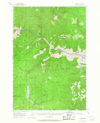
Editions of this 1956 Warren Map
3 editions found
Other maps of this area

1931 · Buffalo Hump
USGS Topo · 1:125,000

1934 · Buffalo Hump
USGS Topo · 1:125,000

1937 · Big Creek
USGS Topo · 1:48,000

1942 · Big Creek
USGS Topo · 1:62,500

1956 · Burgdorf
USGS Topo · 1:62,500

1956 · Warren
USGS Topo · 1:62,500

1956 · Elk City
USGS Topo · 1:250,000

1960 · Elk City
USGS Topo · 1:250,000

1963 · Marble Butte
USGS Topo · 1:24,000

1969 · Loon Lake
USGS Topo · 1:24,000