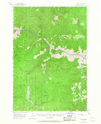
1956 Map of Warren
USGS Topo · Published 1967About this map
Payette National Forest and Nez Perce National Forest meet at the deep canyon of the Salmon River, defining a landscape where isolated ranching and mining were the primary drivers of settlement. The remote mining camp of Warren stands as the central hub, surrounded by a legacy of extraction evident at the War Eagle Mine, Unity Mine, and Rescue Mine. Along the river and its tributaries, small outposts like Shep Ranch, Indian Creek Ranch, and Romine Ranch demonstrate how the rugged topography of central Idaho dictated the placement of early homesteads.
Find a feature on this map
70 named features on this map. Tap any name to fly to it.
Don’t see what you’re looking for? This feature index may not catch every label — zoom into the map to look around manually.
Map Details
Editions of this 1956 Warren Map
3 editions found
Other maps of this area

1931 · Buffalo Hump
USGS Topo · 1:125,000

1934 · Buffalo Hump
USGS Topo · 1:125,000

1937 · Big Creek
USGS Topo · 1:48,000

1942 · Big Creek
USGS Topo · 1:62,500

1956 · Burgdorf
USGS Topo · 1:62,500

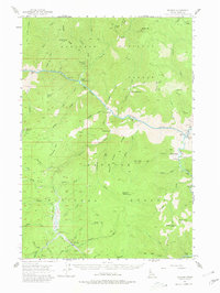
1956 · Warren
USGS Topo · 1:62,500

1956 · Elk City
USGS Topo · 1:250,000

1960 · Elk City
USGS Topo · 1:250,000

1963 · Marble Butte
USGS Topo · 1:24,000

1969 · Loon Lake
USGS Topo · 1:24,000